Aerial Surveying
Almost every development project begins with a land survey.
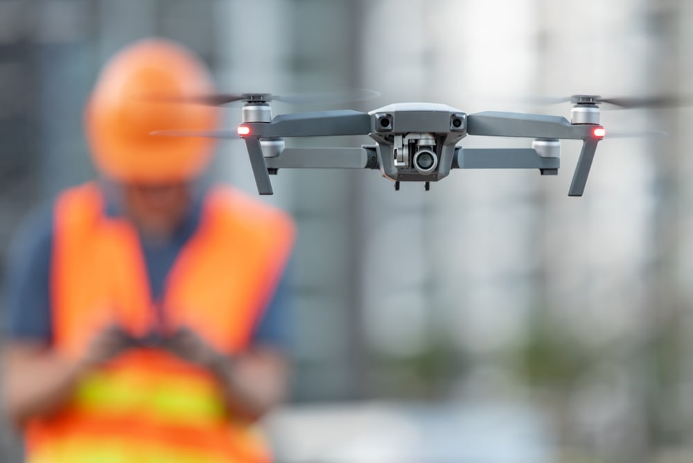
Advancements in drone technology have made a range of aerial surveying services more accessible than ever. With rapid deployment and state-of-the-art survey instruments, drone surveys provide the mapping, modelling and imaging support your project needs.
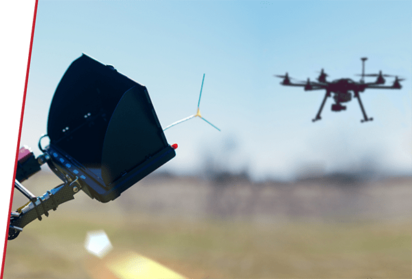
Aerial surveying drones are equipped with a wide range of technologies such as cameras, LiDAR sensors, radars, GPS receivers and thermal cameras to collect the relevant survey data.
Aerial surveys use drones to collect data. Aerial surveying is accurate, provides rapid results, reduces costs and can access areas and objects that would be difficult to access for humans.
The key use of aerial surveying is to collect data over large areas that would be difficult to survey through traditional methods. A brief drone flight can collect data that would take numerous hours to collect otherwise.
Using commercial quality drones, set-out equipment and processing software, surveying drones can be accurate to within 2-3cm horizontally and 5-6cm vertically.
Drones are ideal for all volumetric survey work, including recording stockpile volumes for mine management and calculating earthworks for a range of construction and engineering projects. The combination of photogrammetry and LiDAR makes aerial volumetric surveying highly accurate.
See the data in 3D
Drone surveying produces quality results quickly, profitably, and safely. In surveying, drones can be used to generate high resolution 3D models of land areas and capture volumetric measurements, enabling you to produce accurate maps and data. Not only does this gather data for the current site but it can be used to monitor and detect changes in the earth’s movement — helping you make smarter decisions in your development.
Predict potential roadblocks
This 3D modelling and insightful data allows you to understand shifts in the earth’s movement and exactly where potential damage to roads, railways, and bridges might be. It means we can predict massive roadblocks in your project or potential damage to proposed infrastructure.
Simplify the surveying and planning process
Drones can be used to simplify surveys for land management and planning so that you can get a clear view of your site. Then you’ll be equipped with all the information you need to start planning the design, construction of roads, buildings, and utilities — all before you’ve even started your project. The images produced also allow the planners to examine environmental conditions on different sites within the area.
What is Aerial Surveying.
Drones have revolutionised surveying for all construction, agriculture, engineering, infrastructure, mining and other projects. Aerial surveying drones carry a wide range of cameras, imaging equipment and modelling instruments that make it simple to perform dozens of common surveying tasks.
Aerial surveying is often used for:
- Large-area surveys for construction and engineering projects
- Surveying areas and structures for infrastructure work
- Volumetric and quantity surveying
- Disaster modelling, monitoring and planning
- Terrain and contour mapping
- Inventory and stockpile management
How Aerial Surveying Works.
Aerial surveying encompasses all surveying work done from aircraft. Thanks to advances in technology, it’s now common for aerial surveying tasks to be carried out by unmanned drones. Commercial drones allow for longer flight times and they have the capacity to carry a range of surveying equipment.
Depending on your needs, our aerial surveying drones may be equipped with a variety of different technologies, including:
- LIDAR laser scanners
- Photogrammetry and aerial mapping cameras
- Thermal imaging cameras
- Inspection cameras
Aerial Surveying and Safety .
One of the major benefits of aerial surveying is the ease of deploying and retrieving drone imagery. Drone operators can access and image structures, buildings and terrain that would otherwise be dangerous or inaccessible for ground teams. Following disasters such as floods or fires, aerial surveying offers the safest way to assess and review the damage to terrain, infrastructure and buildings. Advanced Aerial Solutions are available to perform all aerial surveying tasks over difficult terrain, keeping your team safe while providing the data your project needs.

Benefits of Aerial Surveying
Aerial surveying is an excellent tool for collecting data. It offers several major benefits to project organisers:
- Cost-effective
- Highly accurate
- Rapid surveying of large areas and structures
- Rapid deployment and retrieval of data
- Suitable for accessing dangerous or difficult locations
While drones can be used to perform a wide variety of surveying tasks, they’re especially useful for projects that take place over a large area. Advanced Aerial Solutions can rapidly deploy drones and collect data over large regions, such as for rail corridors and agriculture operations. Our drone operators can provide accurate information about almost any project, often delivering services more affordably than through traditional survey methods.
Contact Advanced Aerial Solutions for Expert Aerial Surveying Services.
Aerial surveying is one of the most cost-effective and versatile survey methods available. For all construction, mining, infrastructure, agriculture and other projects, drone surveys provide accurate decision-making information. Advanced Aerial Solutions offers a range of aerial surveying services, all carried out by our CASA certified operators. Speak to our team today for more information or if you would like us to provide aerial surveys for your next project.
Unlock better insights.
Get started with a free 30 minute consultation.
