Thermal Imaging
Thermal imaging drones capture invaluable data and information for development projects.
Thermal imaging cameras use specialised sensors to inspect and assess heat levels in buildings, structures, agriculture, emergency situations and beyond. Identifying the temperature and sources of heat in structures is an excellent tool for improving efficiency, finding flaws and collecting mission-critical information.
What is Thermal Imaging?
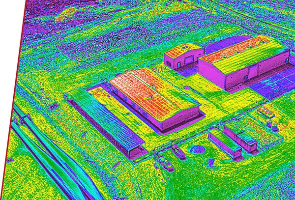
Drone technology is already widely used for capturing images of construction, infrastructure and agriculture projects. Thermal imaging drones take the technology a step further. Equipped with specialised cameras that can accurately detect the temperature of objects, thermal imaging drones can show sources of both heat and cold in buildings and other structures. This technology can be used for processes like finding thermal inefficiencies, identifying stress and disease in crops or conducting search and rescue operations at night.
How is Thermal Imaging Used?
Specialised drones fitted with thermal imaging cameras play an important role in a variety of mapping, engineering and construction applications. Advanced Aerial Solutions’ operators can use our thermal imaging technology for:
- Agriculture thermal imaging. Along with mapping and crop spraying, drones can capture thermal imaging for agriculture and farming applications. Agricultural thermal imaging can be used to detect signs of disease and stress in crops, allowing farmers to identify issues and increase their yield.
- Thermal construction and engineering inspections. Thermal imaging is commonly used to inspect buildings and construction projects for thermal inefficiencies and leaking service pipes.
- Solar panel and solar farm thermal imaging. Solar panels are common both in residential and commercial settings. Thermal imaging can be used to identify excess heat in solar panel arrays and to locate failing panels.
- Emergency response. Thermal imaging drones can be deployed rapidly and used to scan large areas in emergency situations, such as floods, fires and rescues.
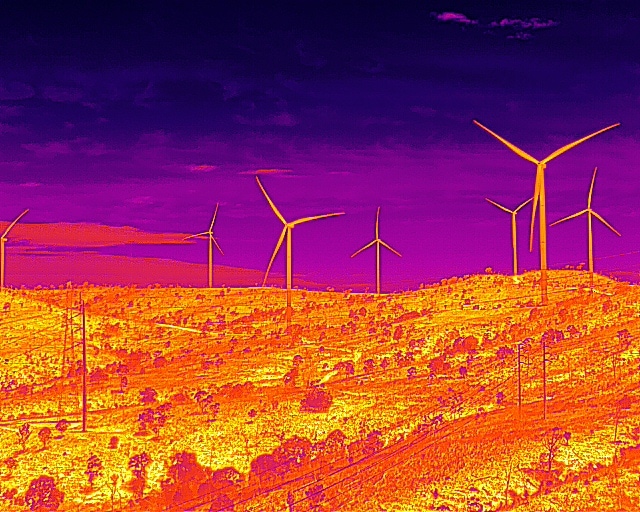
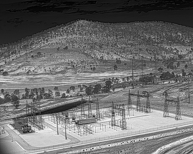
- Thermal infrastructure inspections. Heat buildups in infrastructure can indicate damage or defects that are invisible to the human eye. Thermal imaging drones provide reliable and accurate assessments of the health of infrastructure such as roads, railways, bridges and more.
Benefits of Thermal Imaging Drones
Drones can be deployed quickly and used to scan, map and image large areas and structures in less time than ever. Whether you need data for an emergency rescue or are planning your next construction project, thermal imaging drones offer a few key benefits:
- Cost-effective
- Quick turnaround
- Precise imaging
- Access hard-to-reach locations
- Rapid emergency response
- Locate invisible damage or defects in structures
- Provide data for detailed analysis
Contact Advanced Aerial Solutions for Thermal Imaging Services
Advanced Aerial Solutions offers a variety of drone thermal imaging services to support public and private projects. Our operators are fully licensed by CASA and can deliver cost-effective thermal imaging solutions that provide the information you need to make your next project a success. Contact Advanced Aerial Solutions today if you would like us to design a thermal imaging solution for you.
Thermal imaging uses infrared cameras to detect the amount of infrared radiation (IR) being emitted by an object. The camera converts the IR data into an image showing the temperature of the object.
Thermal imaging cameras can be used to detect any sources of heat or cold, such as humans, animals, liquids and inanimate objects. Aerial thermal imaging is especially useful for detecting humans and livestock, providing data for surveying and identifying faults in electrical connections, solar panels and other building infrastructure.
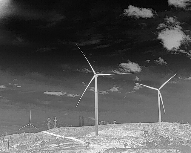
Infrared cameras do not rely on visible light to record images. That means they can see at night, or in conditions that are smoky, dusty or foggy.
Thermal imaging cannot see sources of heat through walls, but they can detect heat near the surface. If a building is filled with something that is emitting heat, that heat may be detected on the exterior surfaces of a building during aerial imaging.
Aerial thermal imaging can be used to detect the presence of liquid leaks or moisture build up in structures. While thermal imaging cannot detect a leak through a wall, it may be able to detect build ups of moisture in certain surfaces.
Spot inefficiencies & safety issues
Scan for leaks and find sources of energy inefficiencies and exterior issues in your structures. Buildings and structures can be monitored and examined for overheating spots, damaged components, and faulty connections.
Get a broad, efficient overview
Aside from capturing high-resolution images, many thermal imaging drones can also stitch multiple images into an orthomosaic map. This provides both a broad overview of any area and offers more detailed information revealing problem spots as well as the life cycle of specific components for analysis.
Evaluate infrastructure
For the safety of everyone, it’s essential to be able to spot deterioration in public infrastructure. Thermal imaging helps us determine the degree of deterioration in infrastructure like roads and bridges, allowing us to evaluate the overall health of the structures.
Emergency response
Thermal imaging is highly useful in emergency response operations. Drones can spot people even in the darkest areas. So it’s the most efficient way to locate missing persons. Thermal drones can find sources of explosions and wildfires — seeing through smoke and visualising these hotspots from a high distance away.
Unlock better insights.
Get started with a free 30 minute consultation.
